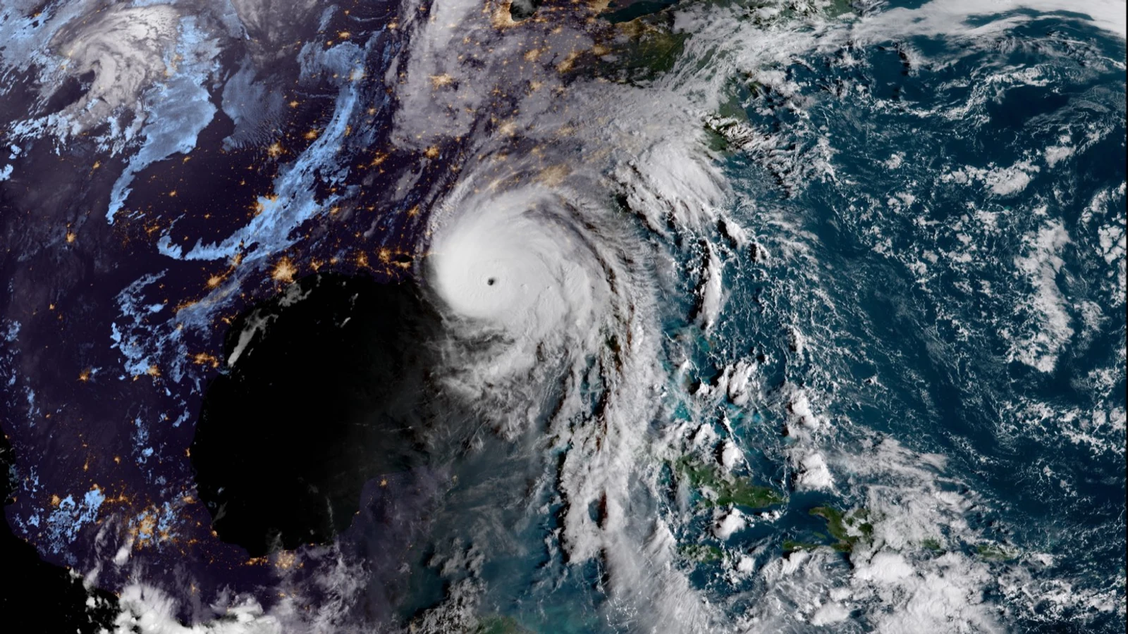
The National Hurricane Center’s operational 2026 graphic adds inland tropical-storm and hurricane watches and warnings. The cone itself still represents only the probable track of the storm’s center, not its size or complete hazard footprint.
The Aug. 13–19 outlook carries a moderate extreme-heat risk in the Plains and Lower Mississippi Valley, a heavy-rain signal in the Southwest and rapid-onset drought risk between them.
The agency would add Atlantic and Pacific basin products at 00 and 12 UTC while discontinuing eight regional wind-and-wave analyses; comments close Aug. 31.