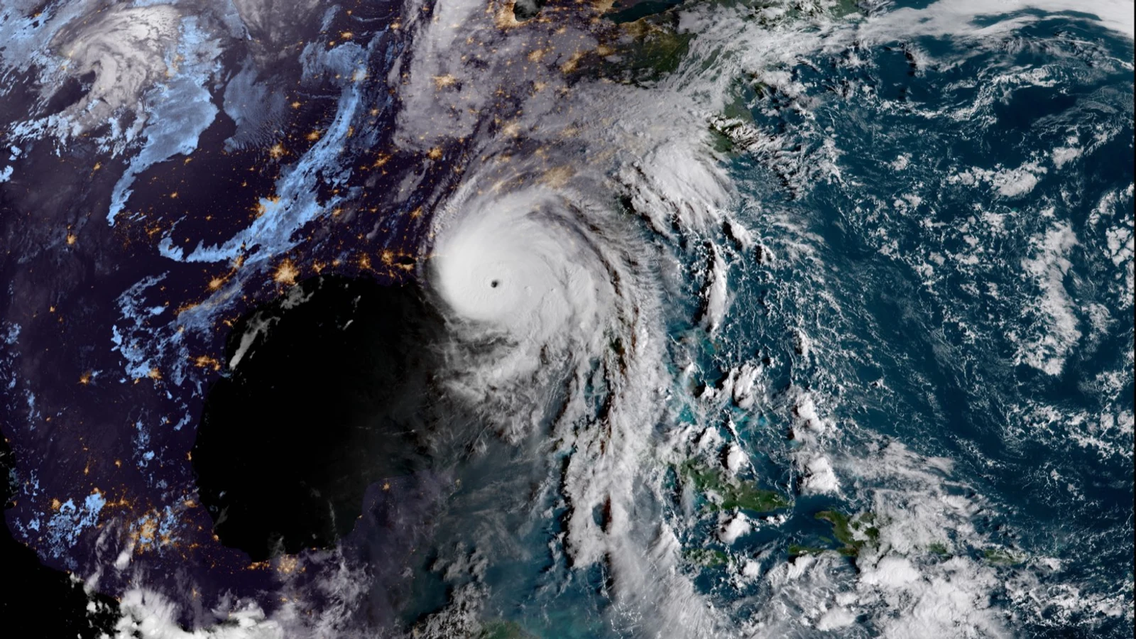
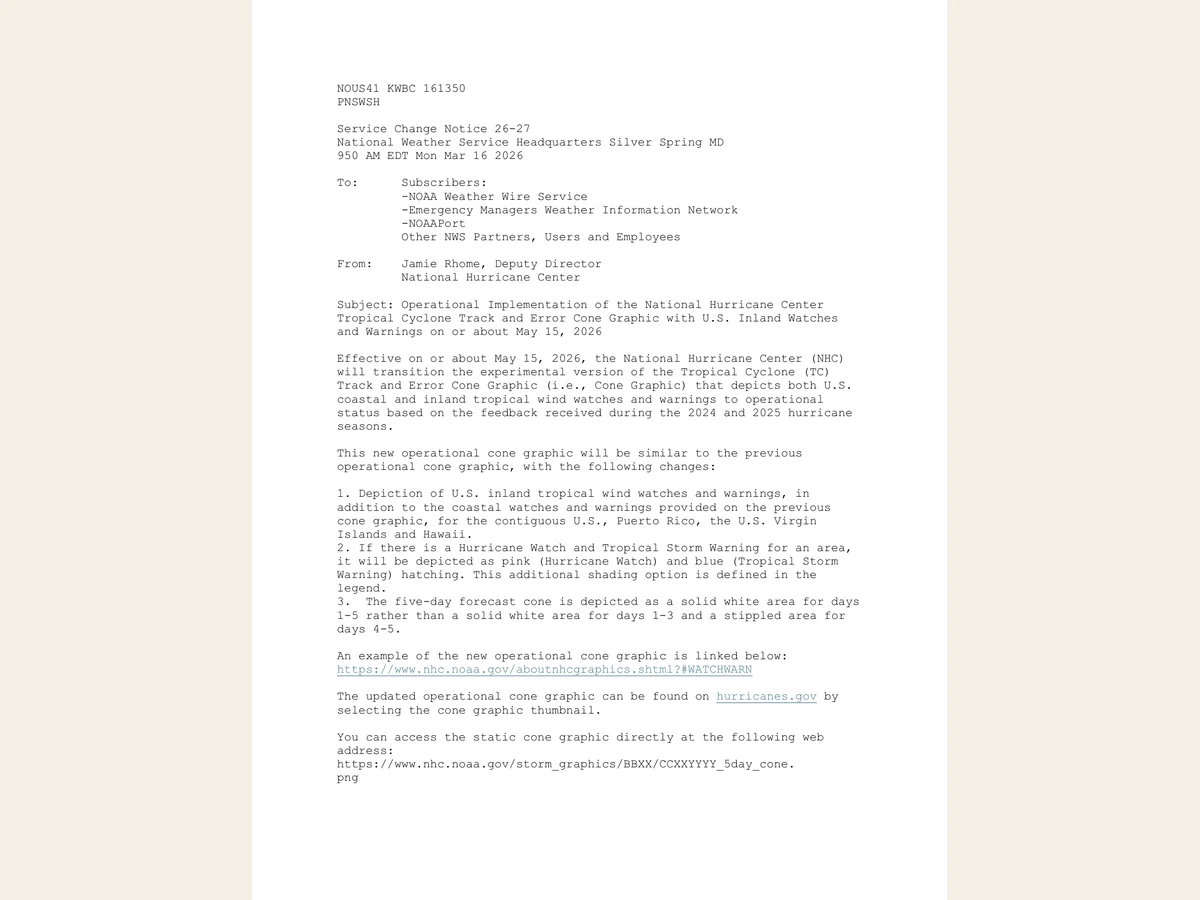
The National Hurricane Center’s operational forecast-cone graphic now displays inland tropical-storm and hurricane watches and warnings across the continental United States, Puerto Rico, the U.S. Virgin Islands and Hawaii.
The change places coastal and inland wind alerts on the same familiar image after testing during the 2024 and 2025 hurricane seasons. The National Weather Service scheduled operational implementation on or about May 15, 2026.
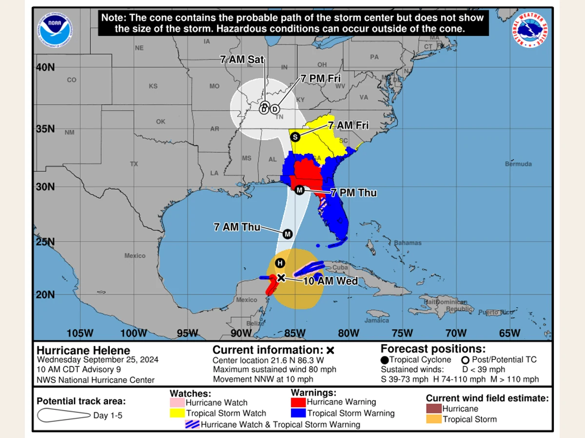
What the white cone means did not fundamentally change. It represents the probable future path of the tropical cyclone’s center. It does not define the storm’s edges, identify every dangerous location or declare people outside the boundary safe.
What changed in 2026
The previous operational graphic emphasized coastal tropical wind watches and warnings. The 2026 version adds inland alerts issued by local National Weather Service offices, making wind threats away from the shoreline visible on the main cone product.
The new legend also includes pink-and-blue hatching for locations simultaneously under a hurricane watch and a tropical-storm warning. The full five-day cone now uses solid white shading rather than a solid first three days and stippled days four and five.
The cone follows the center
The National Hurricane Center constructs the cone around forecast positions for the cyclone’s center. A circle surrounds each forecast point, with larger circles farther into the future because track uncertainty generally increases with time. The cone is the area swept out by connecting them.
Circle sizes use official track errors from the previous five years and are calibrated so that roughly two-thirds of historical center errors fall within the corresponding circles. The storm’s eventual center can therefore travel outside the cone.
The cone has no direct relationship to the diameter of tropical-storm-force or hurricane-force winds. A broad cyclone can expose communities outside the cone to damaging winds while its center follows the forecast line accurately.

Danger extends outside the boundary
Tropical cyclones can also produce storm surge, rainfall-driven flooding, tornadoes, rough surf and rip currents far from the center. Rainfall may spread asymmetrically, interact with terrain or continue after the center has passed. Storm surge depends on storm size, direction, speed, coastline shape, water depth and tides.
Watches and warnings answer a different question
A tropical-storm watch means winds of 39 to 73 mph are possible, generally within 48 hours. A tropical-storm warning means those conditions are expected, generally within 36 hours. Hurricane watches and warnings use the same general timing framework for sustained winds of at least 74 mph.
The timing refers to the anticipated arrival of tropical-storm-force winds, not the arrival of the eye. Waiting for the center to approach can leave too little time to secure property, move equipment or evacuate safely.
The revised cone corrects a visibility problem because dangerous winds can move deep inland after landfall. It also shows why the cone and warning colors must be read as separate layers: the cone describes center-track uncertainty, while the colors describe official wind alerts.
The first image may be incomplete
The first cone graphic issued with an advisory may not contain every inland alert. The Weather Service warned that compiling local inland products can take additional time, so an initial coastal version may be replaced by a complete graphic after the advisory is released.
The experimental cone is separate
The National Hurricane Center is separately testing an experimental cone that uses ellipses rather than the circles used by the operational product. The experiment is intended to represent uncertainty in both direction and timing. It should not be confused with the operational addition of inland warnings.
How to use the graphic
Residents should use the cone to understand where the center may travel, read the watch-and-warning legend separately, and then check hazard-specific products for wind, surge, flooding rain and tornado potential. Local National Weather Service offices and emergency managers remain the correct sources for community-level instructions.
The revised design adds useful information. It does not turn the cone into an impact boundary. The safest reading remains deliberately incomplete: the cone says where the center may go, while other products explain what the storm may do.