
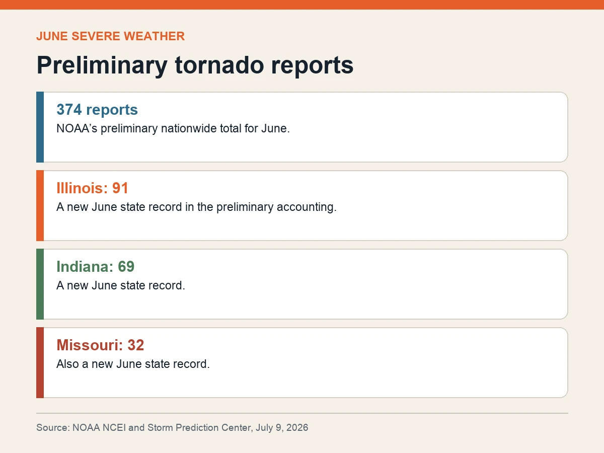
NOAA recorded 374 preliminary tornado reports across the United States in June, with Illinois, Indiana and Missouri each posting a state record for the month in an unusually active stretch of Midwest severe weather.
Illinois accounted for 91 preliminary reports, Indiana 69 and Missouri 32, according to the National Centers for Environmental Information’s June climate assessment using Storm Prediction Center data. The national number is a report count, not yet a final tornado count.
Multiple observers can report the same tornado, and later damage surveys may merge reports or revise event classifications. “Preliminary” is therefore essential: the figure measures the early operational record before NOAA completes its event-level reconciliation.
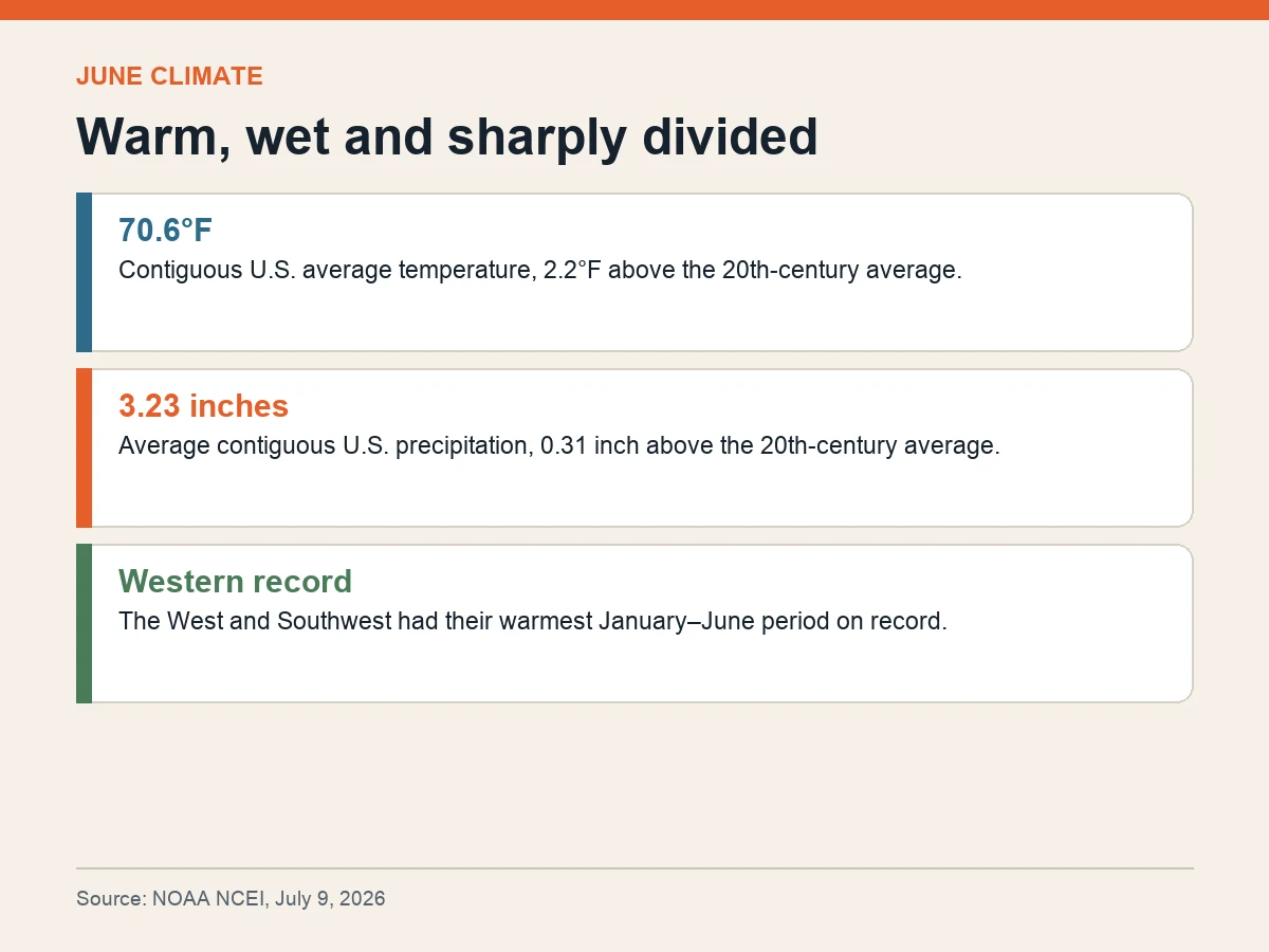
The severe-weather month occurred alongside broad warmth. The contiguous United States averaged 70.6°F in June, 2.2°F above the 20th-century average and within the warmest third of the 132-year national record.
Precipitation averaged 3.23 inches across the contiguous states, 0.31 inch above the 20th-century average and also in the wettest third of the record. Kansas, Illinois, Indiana and Kentucky ranked among their 10 wettest Junes.
National averages obscure the split geography. The West and Southwest completed their warmest January-through-June period on record while receiving less than 70% of normal precipitation. Several western states had only about half to two-thirds of average precipitation.
The East also contained dry pockets: nine states from South Carolina through Massachusetts ranked among their eight driest first halves of a year. At the same time, parts of the Midwest and Great Lakes were notably wet, and Michigan had its wettest January–June on record.
Drought covered less than half of the contiguous United States by the end of June, but persisted across much of the interior West and developed in Puerto Rico. A smaller national drought footprint does not mean every region improved.
The report is a climate accounting, not a local forecast or warning. Its value is in separating the pieces: preliminary severe-weather reports, measured monthly averages and regional rankings that show how one wet and stormy month can coexist with persistent western heat and dryness.