Two Landsat 9 views of the Elbe River mouth show how a 2.9-meter mean tide can redraw a heavily traveled coast, exposing broad mudflats at low water and submerging all but islands and sandbars at high water.
The European river runs more than 1,000 kilometers before meeting the North Sea. Near Cuxhaven, its low-lying mouth is a shifting intersection of coastal habitat, river sediment and navigation infrastructure.
NASA compared an Aug. 15, 2025 low-tide image with a May 11, 2025 high-tide scene. The images were taken on different dates, so they illustrate two tidal states rather than a same-day controlled sequence.
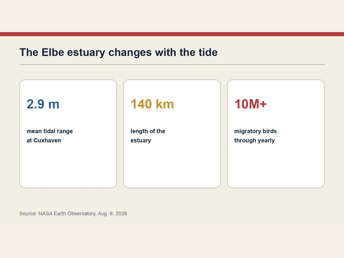
The estuary’s tide is asymmetrical: the flood period is shorter than the ebb. The faster incoming current typically carries more sediment into the 140-kilometer estuary than the outgoing current removes.
That sediment helps form the channels, sandbars and mudflats visible from orbit. The area lies within the Wadden Sea, the world’s largest continuous intertidal sand-and-mud-flat system and a stop for more than 10 million migratory birds each year.
A maintained channel threads through that habitat to Cuxhaven and Hamburg. Dredging removes accumulated material, and some vessels require a sufficiently high tide to pass safely.
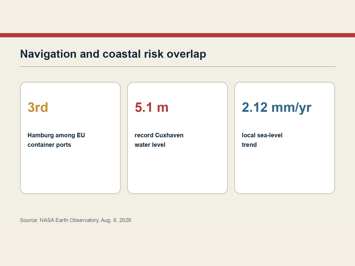
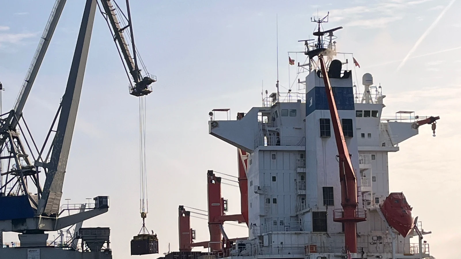
The same river mouth also opens toward the Kiel Canal, linking the North Sea and Baltic Sea. The overlap of natural tidal processes with container shipping makes water level and sediment more than scenery.
Normal tides are distinct from storm surge. Cuxhaven’s record water level reached 5.1 meters above Europe’s sea-level reference in 1976, when wind and tide timing trapped water upstream. Local sea level has trended upward by 2.12 millimeters a year.
NASA says newer NISAR and SWOT observations can add detailed water-level and inundation measurements. Landsat’s contribution here is visual context: the coast is not a fixed line but a working landscape that changes between every ebb and flood.