
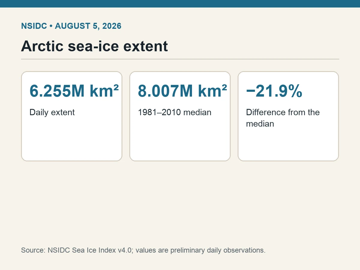
Arctic sea-ice extent measured 6.255 million square kilometers on Aug. 5, 2026, according to the National Snow and Ice Data Center’s latest Sea Ice Index workbook.
The 1981–2010 median for the date was 8.007 million square kilometers. That puts the preliminary 2026 observation 1.752 million square kilometers lower—a difference of 21.9%.
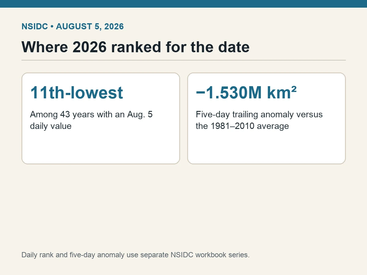
Among 43 years with an Aug. 5 daily observation in the workbook, 2026 ranked 11th-lowest. The lowest value for the date was 5.595 million square kilometers in 2019; 2012, the year with the record-low September minimum, was second-lowest for Aug. 5 at 5.768 million.
Daily values can bounce with winds, ice motion and data processing. NSIDC also publishes a five-day trailing average to reduce day-to-day noise. For Aug. 5, that series was 6.413 million square kilometers.
The associated five-day anomaly was minus 1.530 million square kilometers relative to the 1981–2010 average for the date. Median and average are separate benchmarks, which is why their differences from the daily and smoothed values should not be mixed.
Sea-ice extent counts ocean area with at least 15% ice concentration. It is not the same as ice area, thickness or volume. A diffuse ice edge can raise extent even when the pack is thin, while compact ice can lower extent without describing thickness.
The daily record is also preliminary. NSIDC notes that Sea Ice Index values are subject to quality control and later revision, so the exact figure and rank may change as data are finalized.
Aug. 5 is a checkpoint, not the season’s verdict. Arctic sea ice normally continues shrinking into September, and weather during the remaining melt season can alter the minimum. The current observation cannot by itself predict that minimum.
What the measurement establishes is narrower and still consequential: on the latest available day, the Arctic ice-covered footprint was more than one-fifth below its late-20th-century median for the date and sat in the lower quarter of the observational distribution.